that leads to the coast… Apologies, Mr. McCartney.
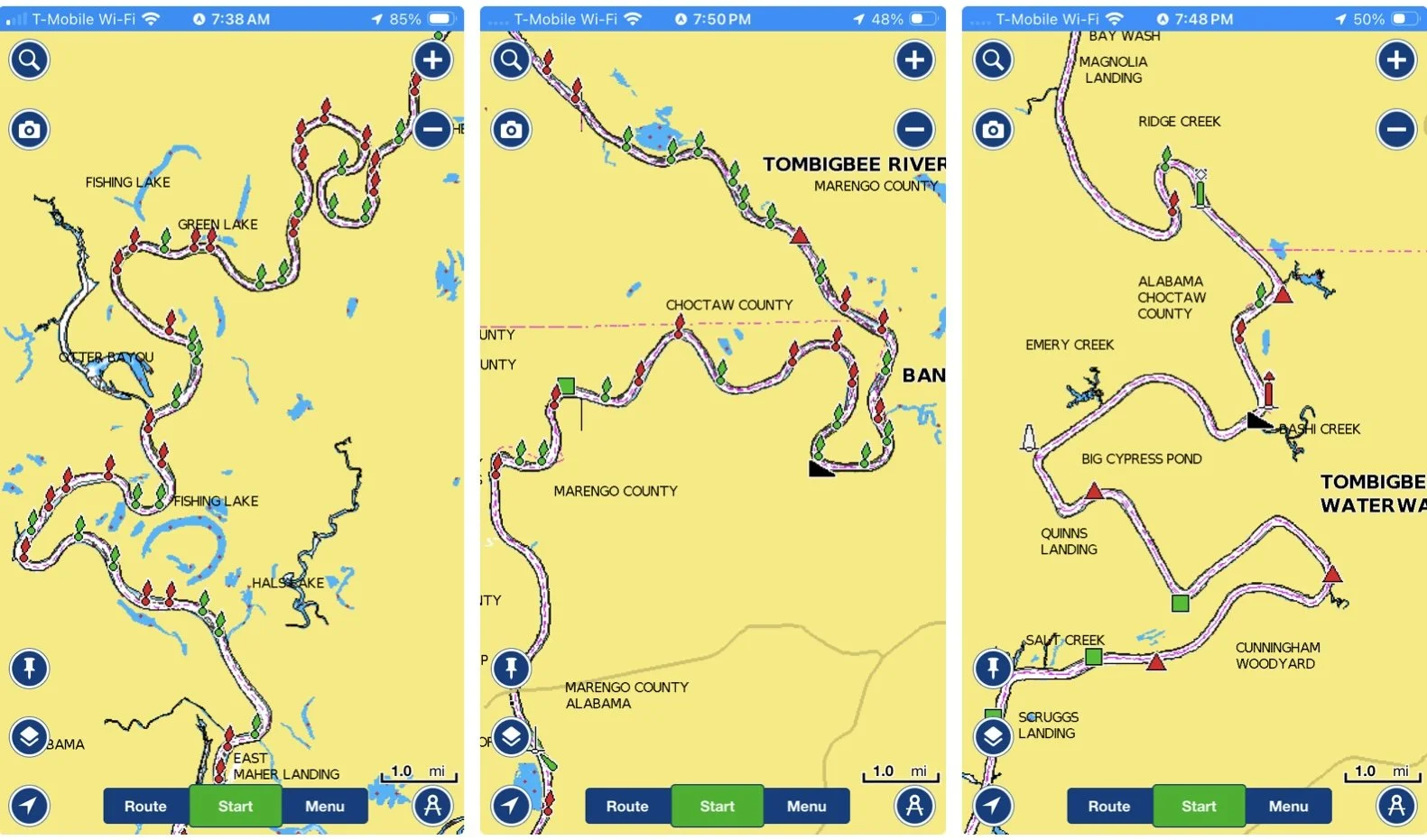
Kingfisher Bay Marina is at mile marker 215 give or take, on the Tennessee-Tombigbee Waterway; 215 river miles to Mobile Bay. As the crow files, that same spot in Mobile Bay is about 130 miles south. The river has carved its way to the coast for thousands of years, and in taking the path of least resistance, it winds and bends, often turning back almost completely on itself. So for the next six days, we get to go an extra 85 miles, sometimes entirely in the wrong direction. But it’s the only way to get there from here, so… we go.
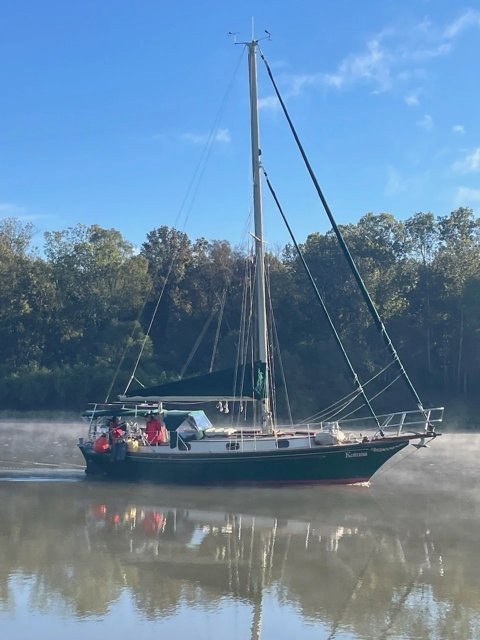
A cold front came through last night. Coldest air so far this fall. It was, for those of us that grew up in the deep South, a bit chilly at a windy 45F for a mid October morning. But an extra layer fixed that. And good foul weather gear helped a bit to fix the other thing that greeted us, which was the fog. Steam fog rose several feet off the warmer lake waters, and everything on deck was wet. It was thick but somewhat patchy and we could see the two boats that left the same time we did, just slightly ahead of us, as long as we didn’t let them get too far ahead.
A total of seven boats arrived at the open lock gates, lining up one behind the next and securing their line to the floating bollards or pins in the lock walls. The descent was uneventful and as the lower gates opened and we all exited, one by one all the powerboats passed us as quickly as they could in the width of the channel. Traffic. Sigh.
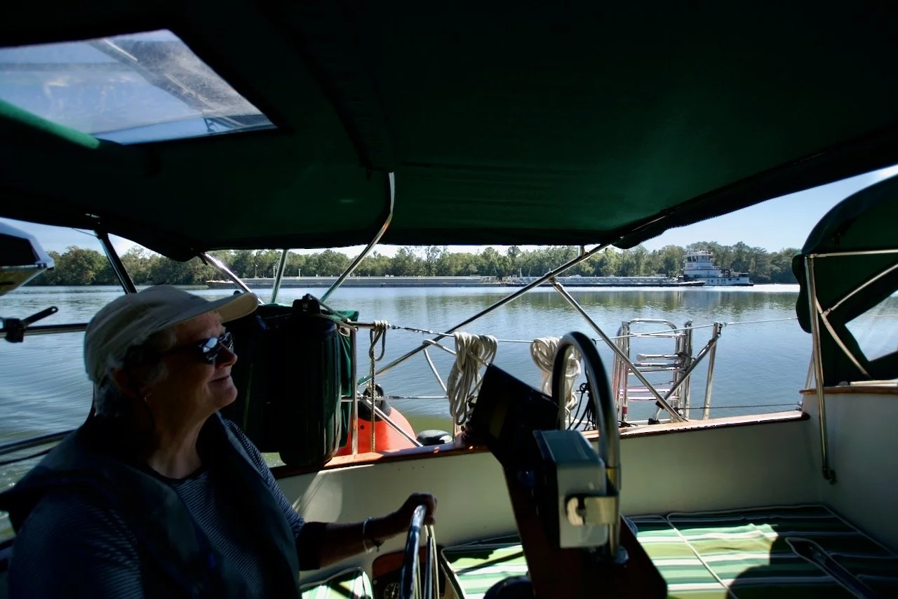
With them on their way we stowed our fenders and sat back and settled into the seven hours that lay between us and our first anchorage. Once the last boat that locked thru with us was out of sight, and we had the river to ourselves, it was quite pleasant. Our CPT autopilot only steers a compass heading, and once dialed in, it holds that quite well. But the river is not really straight enough to use it for very long; so we mostly hand steered.
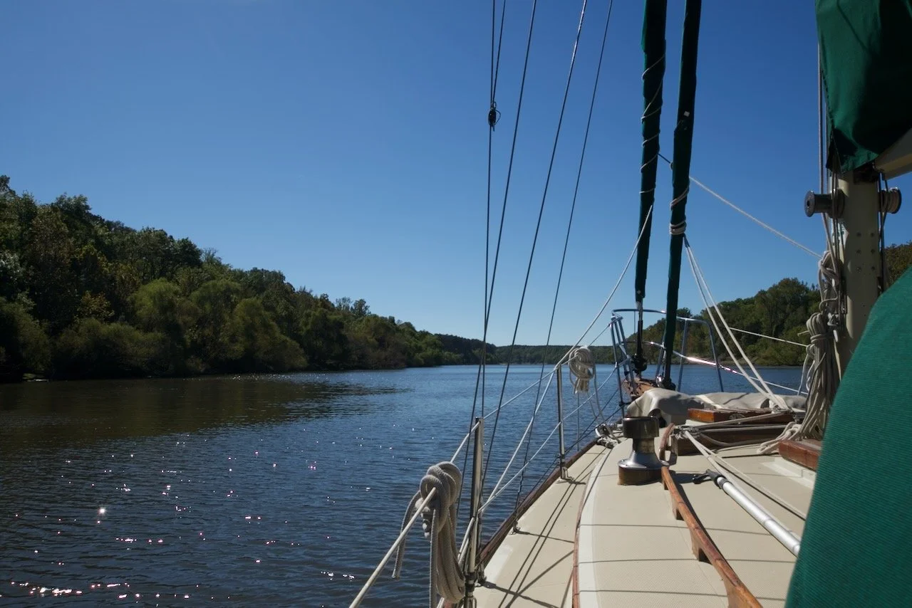
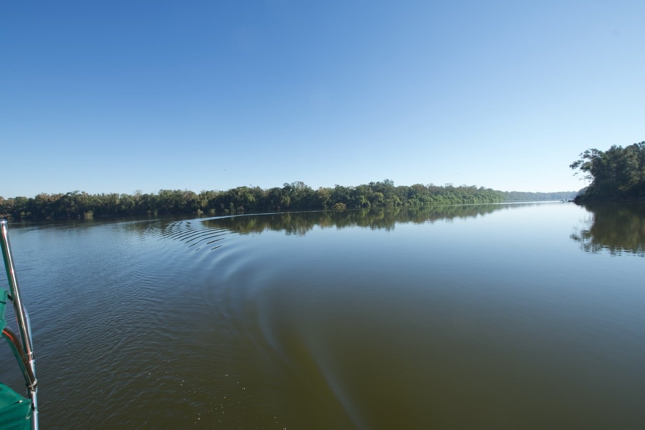
At times like this, we’re a bit jealous of those sailboaters on the coasts or the Great Lakes who are only minutes from open water. The river channel varies from roughly 200 feet to almost 1/4 mile in width, though those wide patches don’t last long. Mostly it’s 300-400 ft for miles and miles. Still, there is a beauty about it that appeals to us. Serene and quiet. Maybe it’s because it’s like what we’re used to, on the inland lakes we learned to sail upon. Maybe it’s that it’s just beautiful in its own way. We’ll be in open water soon enough, and for the six days ahead, we’ll enjoy that we are actually getting to do this.
Between our modest cruising speed of barely 6 knots, and the days getting shorter, and the morning fog common this time of year, we can comfortably make about 45 miles per day. The challenge is making that 45 or so miles match up to the location of the next adequate anchorage. Fortunately, since this is route is traveled by dozens, if not hundreds, of Loopers every year, there are several sources for listings of safe, secure anchorages. Some these anchorages are in side creeks or oxbows. Some are just wide spots in the river, outside the main channel. Our first anchorage was one of the latter.
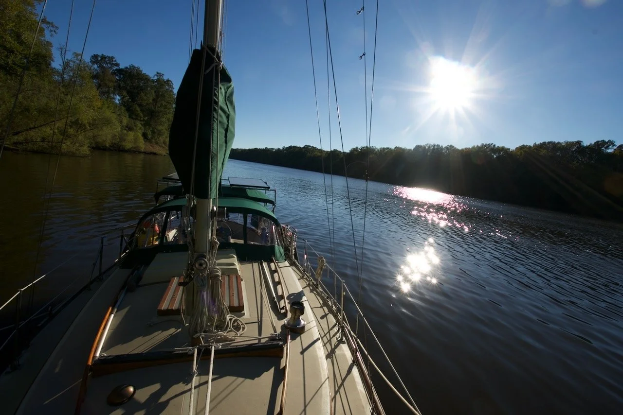
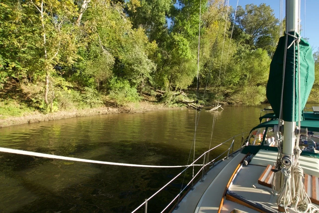
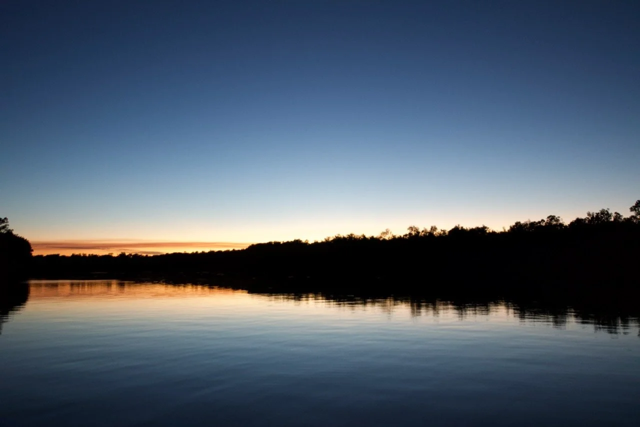
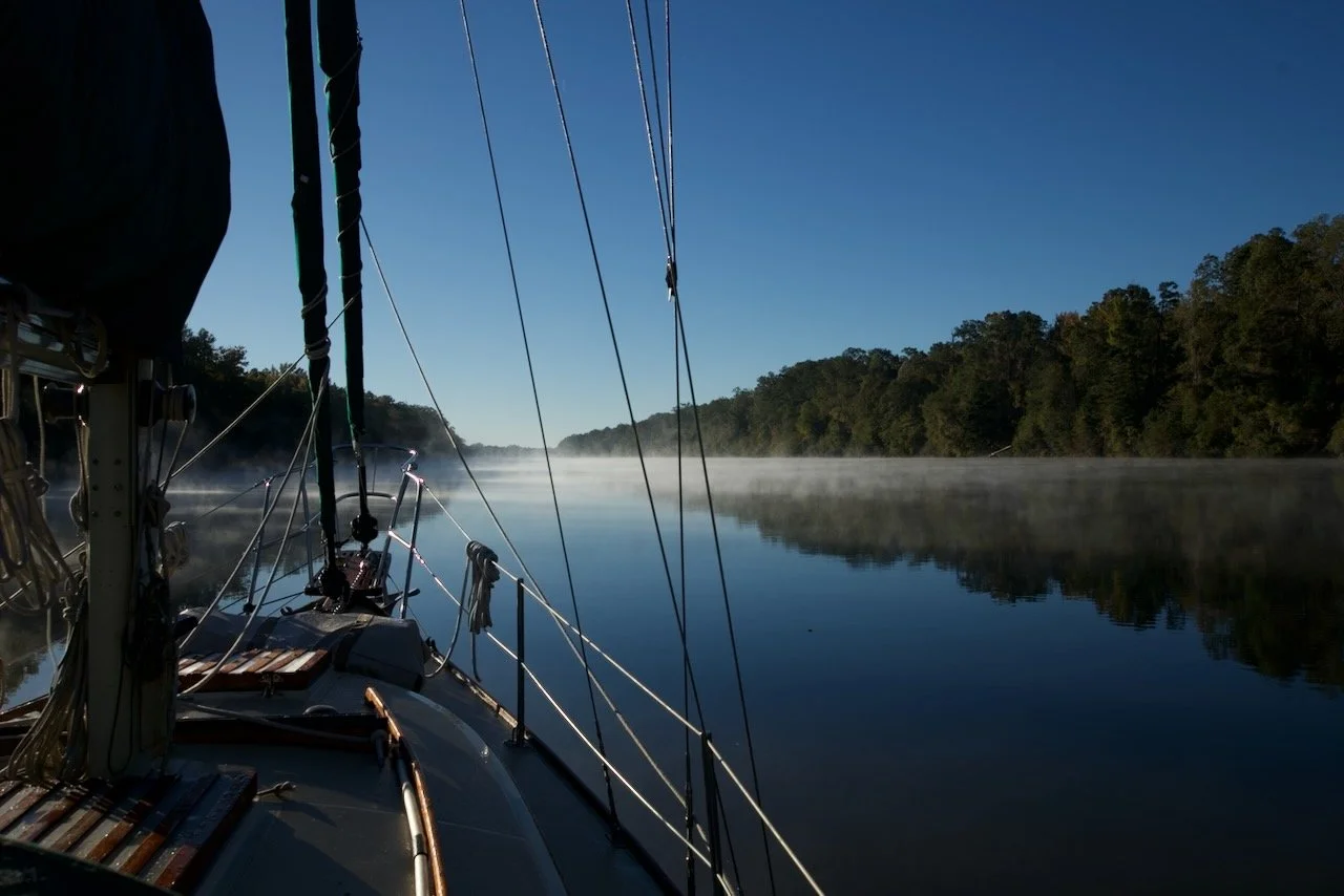
A full commercial load being pushed down a fairly narrow river is an amazing sight; especially up close, say 200 feet away. A reasonable boater might want more room and rightly so. But sometimes you take what you get. What we got was an indentation in the bank. We looked carefully at the imaginary line from the point that marked the bend in the river to the next red marker, and we were outside that; by all of fifty yards. Shortly after we set anchor, another boat showed up and pulled in just slightly downstream of us. I had set a stern anchor to keep us off the shore which was no more than 50 feet way. We left the VHF/AIS on so I could tell if a tow was approaching. About an hour later, after dark, a tow approached. We radioed where we were anchored and asked if he could see us and were we completely out of his way. He replied we were fine. Whew! Fortunately, even as close as he was his wake was minimal. Two more passed later that night and we might not have known except for the engine noise that our hull seems to pick up for quite a while on a chilly night. The next two days were pretty much the same - start motoring as soon as the fog cleared, motor 40 miles or so, anchor at the side of the river. There are worse routines one could have.
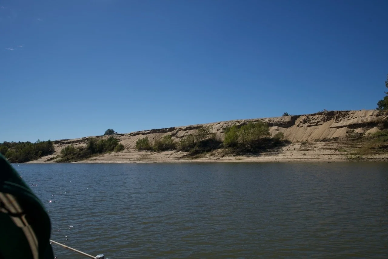
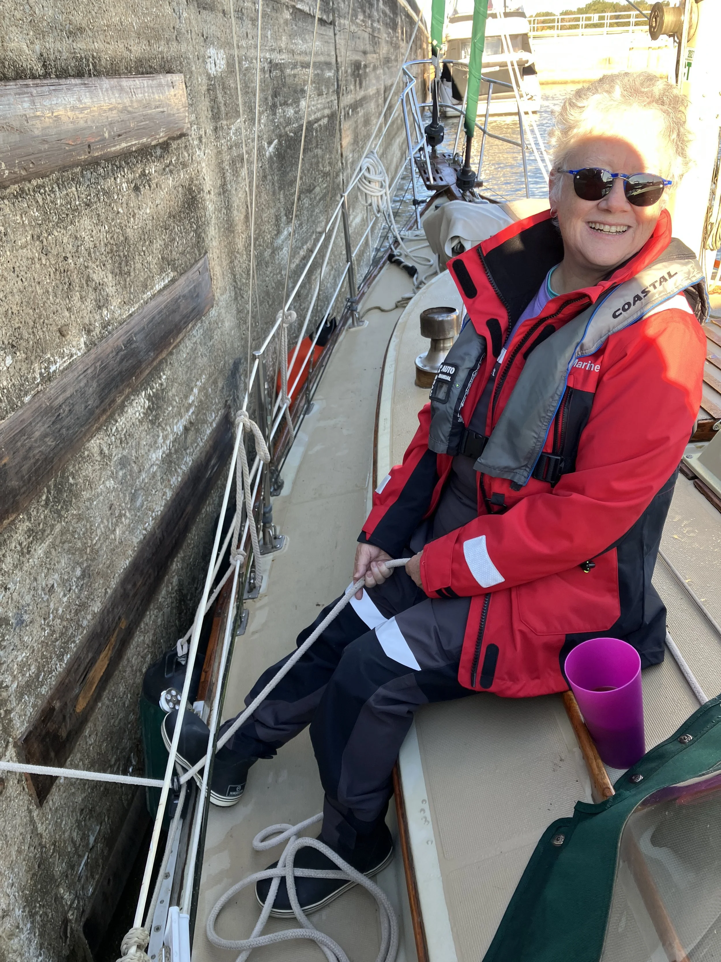
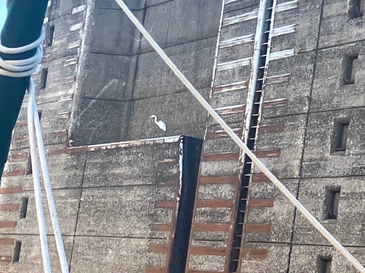
The third day included the final lock on the waterway. After Coffeeville, you're at sea level. The tidal influences will become noticeable the further south you go, and you start to notice the scenery beginning to change. By the middle of the fourth day we began seeing seagulls, pelicans, and cypress trees with Spanish moss; sure signs we were nearing the coast.
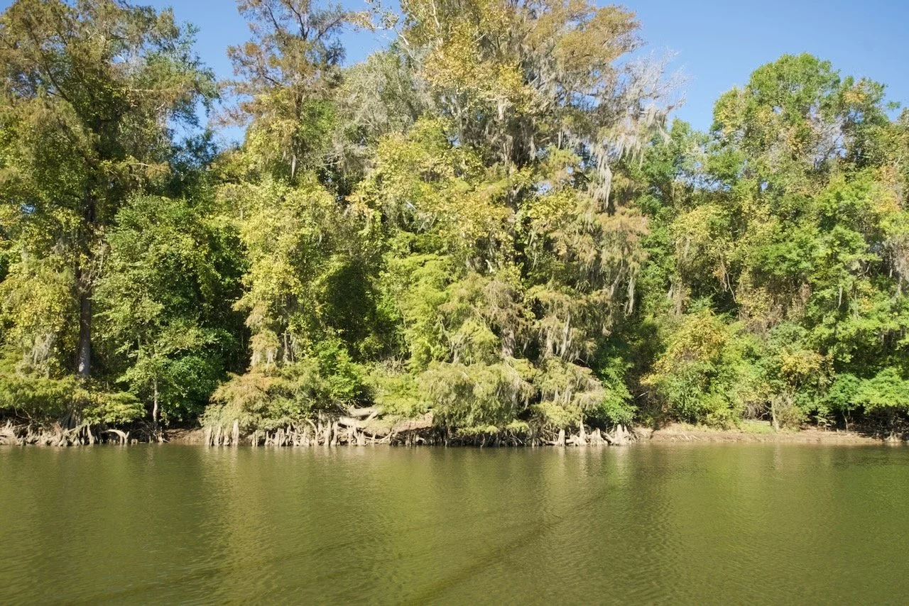
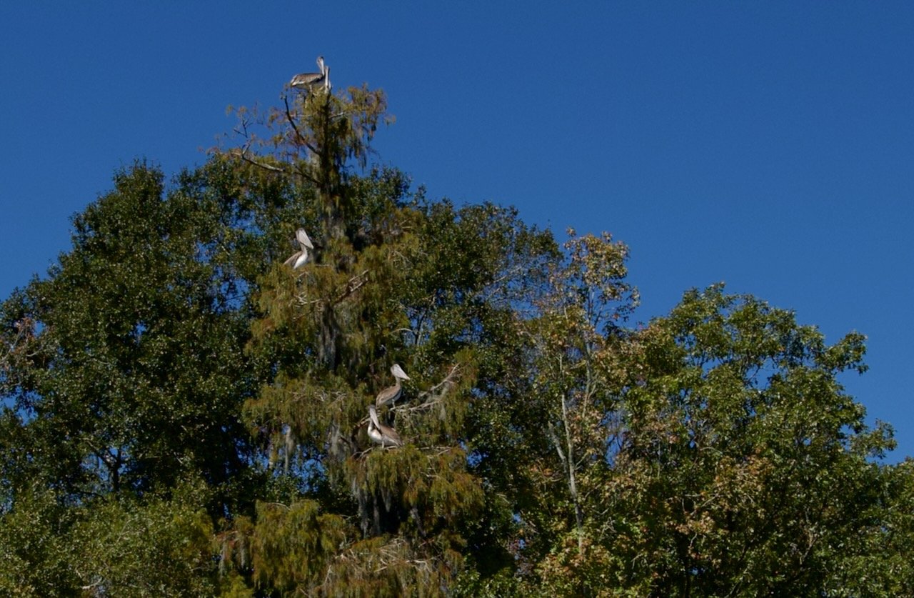
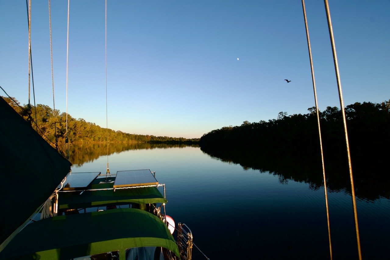
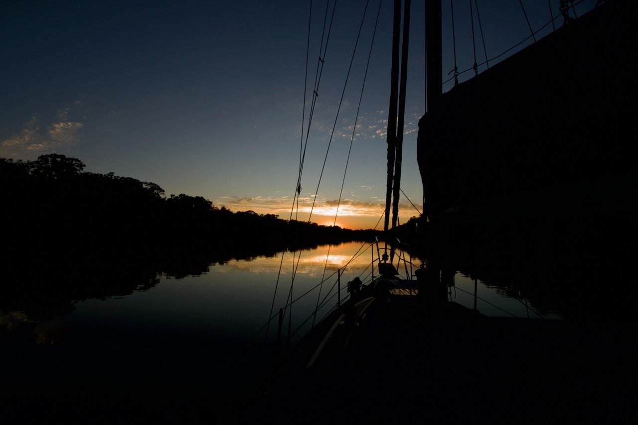
The northern end of Mobile Bay is a pretty substantial river delta. Several rivers from central Alabama converge in the area and flow to the Gulf. Which means there are many side channels to tuck into for the night. Day four’s anchorage was the Tensaw River cutoff, the first anchorage where a stern anchor was not necessary. We anchored in about 15 feet of water and the modest current held us straight all night. It was a quiet beautiful spot that we had it all to ourselves. A three-quarters full moon rose over the eastern stretch of the river as the sun finished setting over the western stretch. Not far away an owl began to call, and as a few seagulls and pelicans made their last dives of the day nearby, we made our favorite chicken and rice recipe for dinner and turned in just after dark.
Day five started and finished pretty much as all the others had. Wake up just about first light. Make coffee for me and tea for Amy. Poke my head out the companionway and look around, usually finding fog. Back inside, turn on the AC/heat pump to knock off the morning chill. Have a bagel. Sunrise is around 7:00AM this time of year, and the sun quickly burns off the morning steam fog. By 8:00AM or so, we’re underway, following the bends and twists of the river again. Somewhere around 4:00PM we’re at the next anchorage, choosing a spot for the night. Day six started that way, but ended a bit differently.
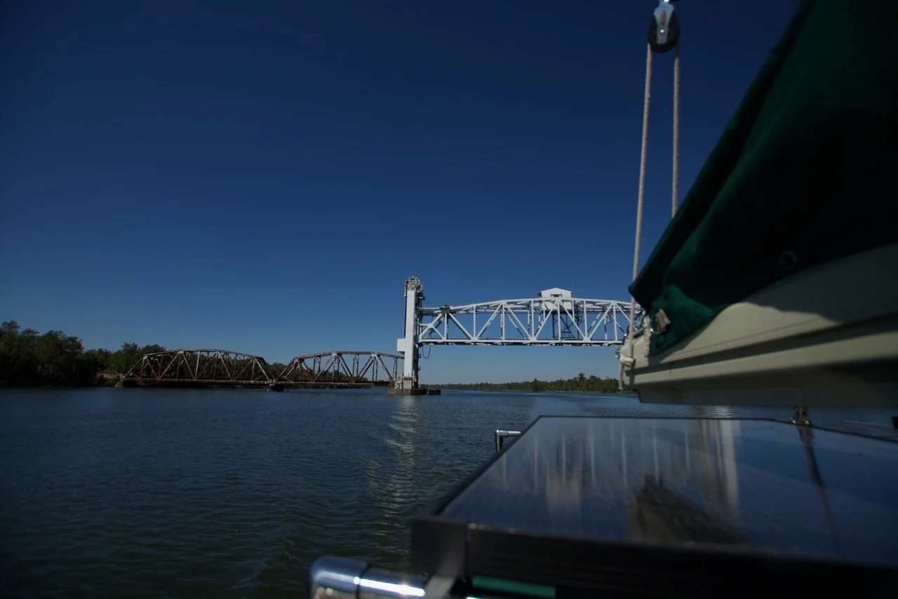
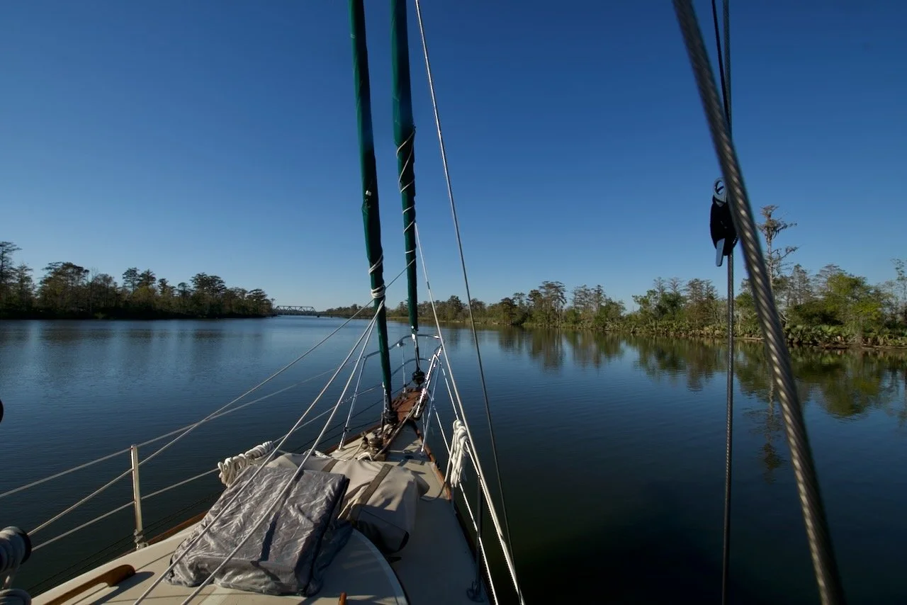
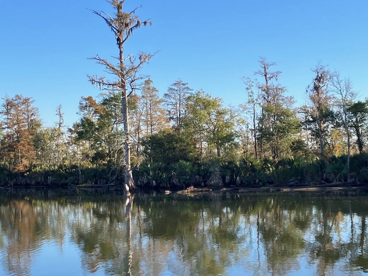
The Bayou Canot anchorage just across from Twelve Mile Island was our last stop. A beautiful river offshoot that runs through this part of the delta, just a few miles from the north end of Mobile Bay. Sufficient current to keep you straight, but this close to the bay, the tide changes the current's direction twice a day. We set our anchor, backed down on it solidly, let out plenty of chain and settled in for the night. The railroad bridge a few hundred yards away, brought back some memories of houses we had lived in that were close to the tracks, years ago, as several trains passed in the night. Most of those trains were taking cargo to or from the port of Mobile.
Mobile has been a bustling seaport since the 1700s. Today it is the destination of much of the commercial traffic on the Tennessee, Tombigbee, Alabama, and Warrior rivers, as well as the destination of hundreds of cargo ships from around the world. Many of the tows we dealt with along the way will drop their cargo here to load on larger vessels for transit to who knows where or vice versa. It’s a port to not be taken lightly. The channel is quite adequate for commercial traffic, but as a recreational vessel in a space of massive, limited maneuverability, confined to a narrow channel, vessels; you are the burdened vessel, always. So as we prepared to make that transit, our job would be quite simple - stay the hell out of their way.
First light came, as did coffee, tea, fog, bagels and sunrise. The fog burned off quickly and we were on our way by a little after 8:00. The first mile or two we were alone on the river. Ahead, on AIS, we could see that would change soon. Roughly twenty targets, each massively larger than our 31 feet and 12,000 lbs. As we scanned the details of each, a glimmer of hope appeared; the majority of them showed as moored. As we made our way past the first few, sure enough, each of them was docked and either loading or unloading cargo. As we neared the impressive US 90/98 bridge, our first moving target appeared. A single tug moving to its next assignment, at roughly twice our speed. A quick radio call, a port-to-port pass and we were in the clear.
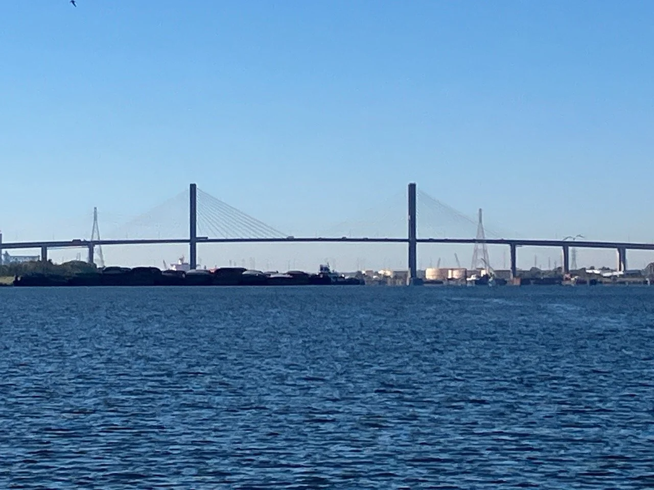
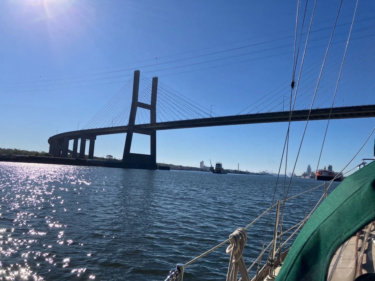
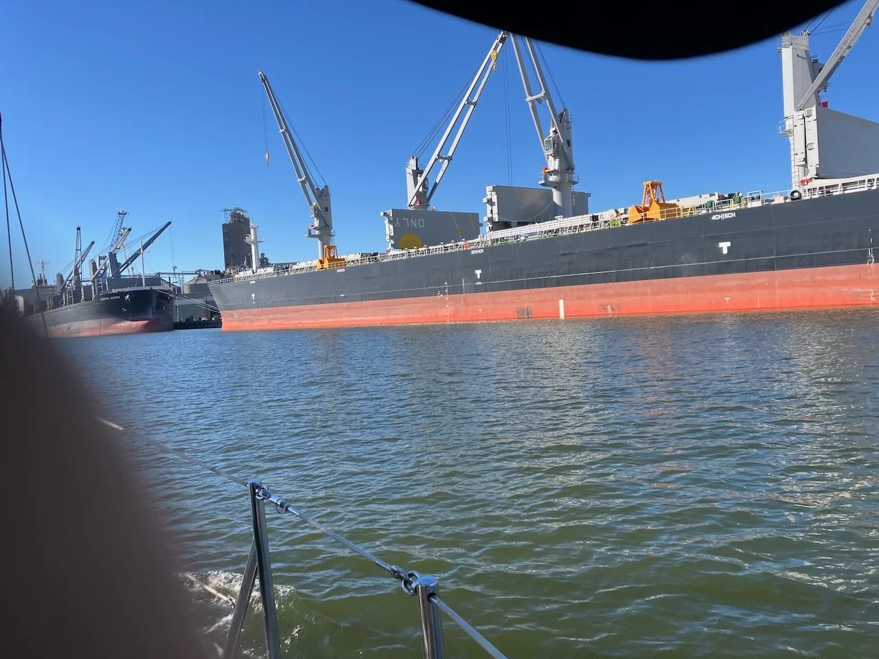
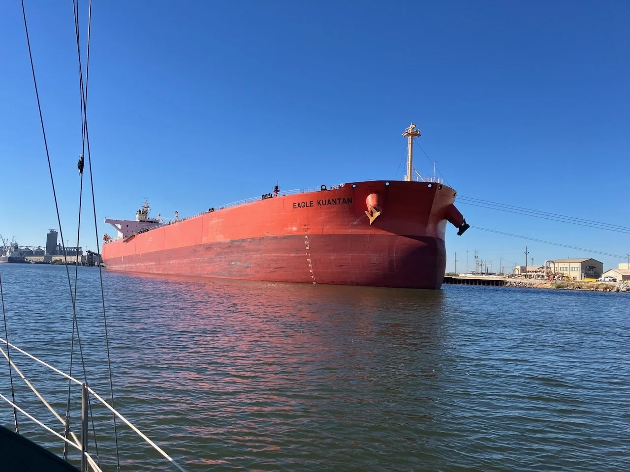
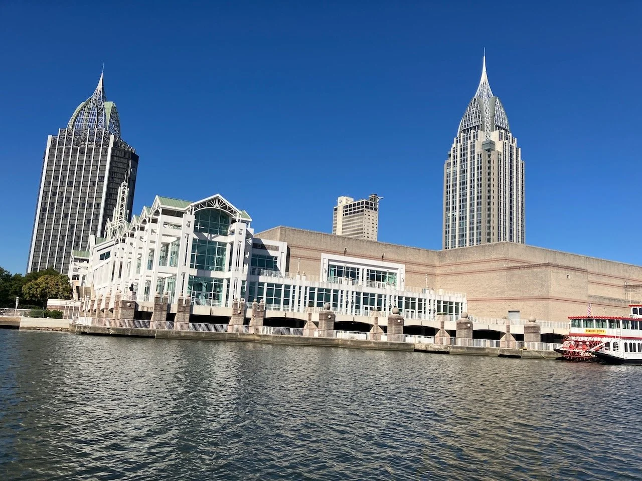
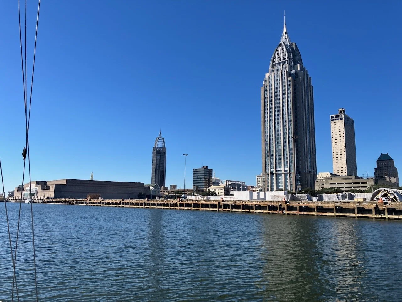
We ran the entire length of the downtown ship loading and unloading area without encountering another moving vessel. We passed bulk carriers, tankers, container ships, and a couple of types I didn’t recognize - all moored, all non-threatening. Not knowing for sure who to thank, we gave thanks to several possibilities, and kept moving; grinning at our good fortune. Until we saw her.
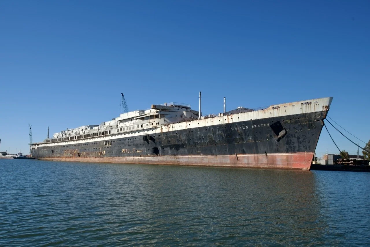
We took a cruise ship cruise once. Years ago, Amy’s mom decided she wanted her children and their spouses to join her on a Carnival Cruise to the Keys, Cancun, and Belize. So she bought the cruise tickets, we paid for our own airfare. And it was fine because it was with family. Later we both agreed it’s not something we would do for a vacation.
Something we would do, if we want to go back to Europe after our sailing days are done, is take the Queen Mary II across the Atlantic. Something about a proper ocean liner appeals to us. So when we came upon what’s left of the SS United States, tied up at a salvage yard dock, it was a combination of awe and sadness. I knew she was in Mobile, being prepared to become an artificial reef. I just didn’t know we would come so very close to her. The technology, engineering, craftsmanship that made her what she was is from an era that I guess has passed on, and that’s a little sad. We bid her farewell and moved on.
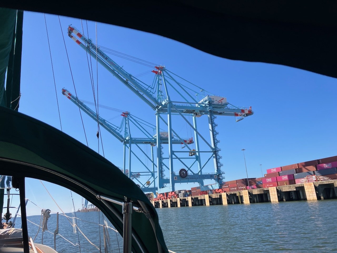
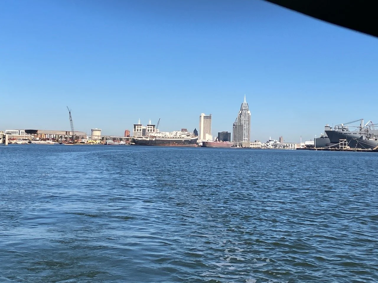
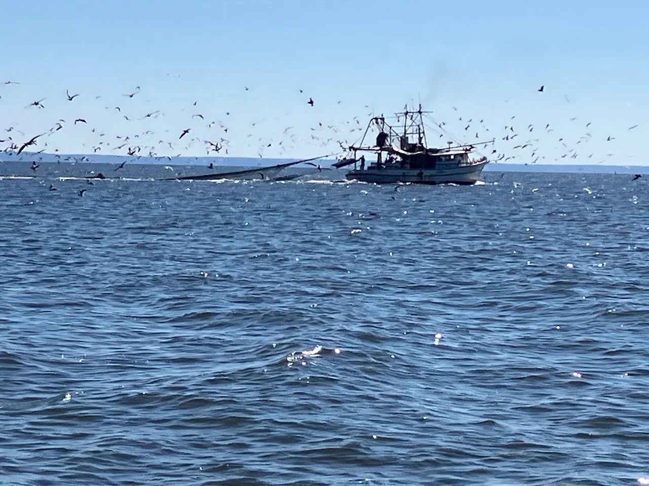
Passing the last set of huge cranes that load container ships meant we were clear of the loading / unloading area and into the bay proper. Unfortunately, this part of the bay is quite shallow. The main channel is forty to fifty feet deep. But not knowing the local waters and knowing that in some places 100 feet outside the channel you can find yourself in five feet or less almost immediately, we stayed in the channel, and kept the green markers close to our port side for the final 12 miles of our trip. The wind had picked up a bit and there was a light chop, so staying on that line required some focus hand steering, but the autopilot handled it pretty well. We even managed to glimpse some dolphins nearby, but they were far more interested in the fishing trawler on the other side of the channel than they were in us.
We passed our last commercial vessel just before the turn to Dog River and the marina. Plenty of room, no drama. Probably didn’t even need to call them, but we did just to be sure they saw us and they knew our intention to stay out of their way. We made our turn and breathed a bit of a sigh of relief. We weren’t quite warm and dry, but we were close to a vigorous toweling off. The Dog River channel is narrow, but well marked and even if you do stray outside a bit, there’s mostly 6-7 feet of depth. We called the marina office to let them know we were close. We had already received our slip assignment and an aerial view of the marina so we had an idea where we were headed, but we wouldn’t turn down a little help getting docked. Happily, docking was far less embarrassing than it could have been. It’s been a while since we’ve tied up to fixed wooden docks without finger piers. But with a bit of help from the staff we managed to do it without injuries or boat damage, and that’s always a win.
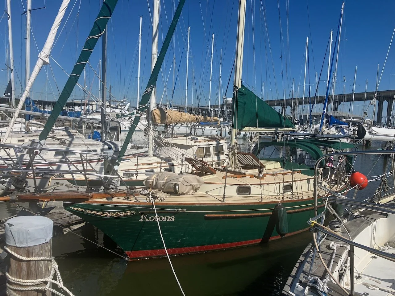
Checked in at the office just before 1:00PM, rechecked our lines, made a sandwich, opened a beer and just smiled at each other for the rest of the day. We’d made it. Our boat has brought us 550 miles from our home port, to this place, where just a few miles to the south the Bay opens to the Gulf and… well, that’s the next part of the story.